Events.
Transit Techies #38: Arunav Gupta (Pedestrian Crossing Distance) / Franklin Tang & Nolan Hicks (A Better Billion)
Pedestrian Crossing Distance
In this talk, Arunav Gupta will share a project that used computer vision and OpenStreetMap data to automatically measure the length of 2.7 million pedestrian crossings across the 100 largest U.S. cities. By training a segmentation model on satellite imagery to distinguish roads from sidewalks and pairing that with mapped crosswalks, the team calculated crossing distances with 93% citywide accuracy. The results reveal which corridors are especially hostile to people on foot, with median crossing distances ranging from 32 to 78 feet across cities — and show how newer, more car-centric cities tend to have wider, riskier streets. The findings point to how AI tooling can help planners and advocates quickly identify dangerous crossings and push for safer, more walkable designs at scale.
Arunav Gupta (he/him) is a software engineer at CoreWeave with a Master's in Data Science from NYU, where he worked with urban scientists to understand how street design shapes how we move through cities.
Watch on YouTube.
A Better Billion
A Better Billion is NYU Marron Institute Transportation and Land Use Program's latest planning report coupling subway and housing expansion into one comprehensive program. Inspired by the underlying opportunity cost of the Mayor's campaign platform of free buses, A Better Billion explores how subways and housing together tackles the core affordability challenge in New York City using available public data platforms and tools.
Zhexuan (Franklin) Tang is an Assistant Research Scholar in the Transportation and Land Use program of the NYU Marron Institute. He holds B.A Specialist in Architecture from University of Toronto, and a M.Sc in Applied Urban Science & Informatics at NYU Tandon Center of Urban Science & Progress (CUSP). Franklin is a firm believer of the cross-pollination of ideals, experiences and application-driven mass-mobility development. He is an author of A Better Billion, most recently published housing and subway expansion planning report for New York City. Previously, he participated in editing and writing the Program’s regional rail planning framework, Momentum with Nolan Hicks, and his Masters’ capstone project delivered a subway ridership study for a local transit advocacy non-profit, QueensLink.
Nolan Hicks is a Research Scholar in the Transportation and Land Use program of the NYU Marron Institute. He’s spent a decade reporting on and writing about New York City government and politics, including authoring investigative pieces that examined how the MTA designs subway stations and why city services frequently fail to reach the needy and mentally ill. His stories across his career have prompted reforms and helped lead to federal prosecutions. At Marron, he led the group’s development of a groundbreaking passenger rail modernization design framework, Momentum, that was released to acclaim in 2025. Nolan’s current projects include further developing the Momentum framework by applying to major transit systems in the US beyond New York.
Watch on YouTube.
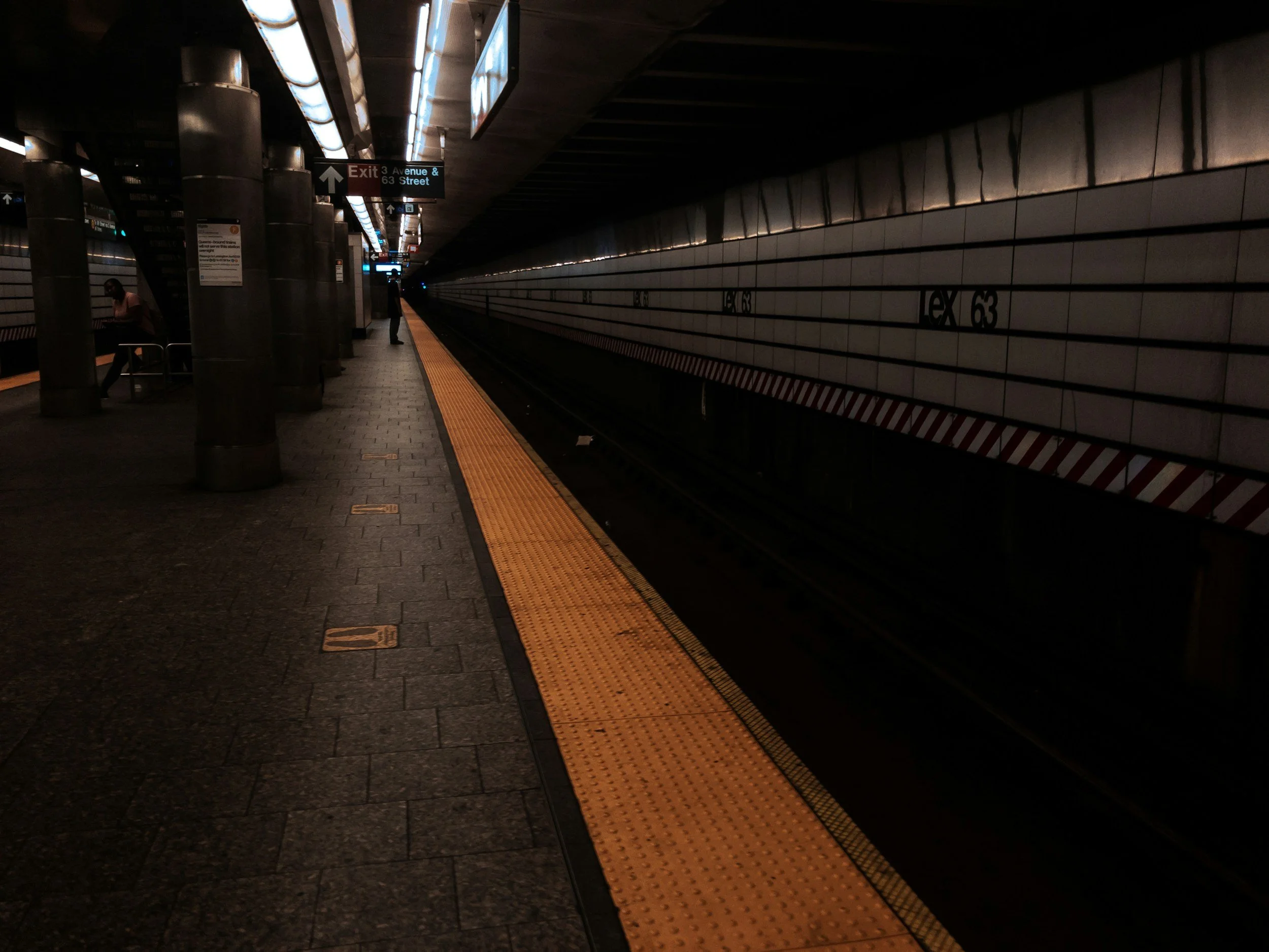
Transit Techies #37: Chris Whong (NYC Subwaysheds)
Chris Whong is a Brooklyn-based mapping and urban data enthusiast who loves building informative, interactive maps and visualizations. He will share a small side project, NYC Subwaysheds, which visualizes the spatial accessibility made possible by the New York City Subway.
Watch on YouTube.

Transit Techies #36: Colin Miller (Subway Builder) & Greg Feliu (The Busiest Subway Lines in NYC, Ranked)
Colin Miller mostly grew up in Austin, Texas, where he developed an early interest in software and maps. After his freshman year of college, he launched his first startup, Redistricter, which took off far faster than expected. He left school and moved to New York to pursue it full-time.
A year later, he created Subway Builder, a hyper-realistic game that lets players design subway systems from scratch while navigating real-world constraints and costs. The game simulates millions of commuters using Census and Redistricter data, powered by the same pathfinding algorithms people rely on to get to work. Your job is to design a route network that gets the most people to their destination as fast as possible.
Watch on YouTube.
Greg Feliu is a data engineer and analyst focused on transportation analytics, with projects ranging from modeling subway–bus transfers to clustering NYC subway stations by ridership. Drawing on public ridership data and GTFS schedules, he builds minimal-assumption models to estimate ridership on each subway line, combining data modeling with subject-matter expertise to reveal how New Yorkers move through the system with The Busiest Subway Lines in NYC, Ranked.
Watch on YouTube.
GitHub: https://github.com/gregfeliu/NYC-Subway-Frequencies
Subway Builder save file: https://subway.trentwiles.com/maps/DKlqrV5pTYk
Transit Techies #35: Aaron Gordon, Surya Mattu, Marie Patino / Elif Ensari & Benjamin Arnav
Aaron Gordon, Surya Mattu, and Marie Patino are reporters at Bloomberg News.
"NJ Transit Is NYC’s Least Reliable Commuter Rail — By a Long Shot"
NJ Transit, Metro-North, and the LIRR are crucial arteries into Manhattan, moving hundreds of thousands of commuters into the Financial District and Midtown every day. As New York City faces a housing affordability crisis, the railroads are critical to the city’s future as the region seeks to build more densely near train stops. But one of those commuter railroads, NJ Transit, is significantly less reliable than the others. To understand the frequency of significant delays on New York commuter lines, Bloomberg tracked more than 190,000 trains this summer using live transit feeds, the kind used by navigation apps such as Google Maps. The results show NJ Transit riders had more issues than their New York and Connecticut counterparts. About one in every 18 NJ Transit trains was delayed by at least 15 minutes or canceled completely in May, June and July. For an average commuter, that meant a bad commute roughly every two weeks, versus once every three months or more on the more reliable lines to New York and Connecticut suburbs.
—
Elif Ensari is a Research Scholar at NYU’s Marron Institute of Urban Management, where she works with the Transportation and Land Use group. Her research focuses on the costs of building passenger rail, ridership estimation, transit-oriented development, and New York City’s walking and cycling infrastructure.
Elif will present “Eye in the Sky: Harnessing AI to Monitor Police Response to Illegal Parking Complaints,” co-authored with Benjamin Arnav. Illegal parking clogs travel lanes, worsens gridlock, and blocks critical infrastructure, yet enforcement remains inconsistent. Using artificial intelligence and New York City DOT’s public camera feeds, the team developed an automated system to file 311 complaints and monitor police responses citywide. Their analysis revealed that over half of complaints were closed while vehicles remained illegally parked, and that only 3% resulted in tickets. These findings expose major enforcement gaps and point to the potential of automated ticketing and smarter street design to address chronic violations.
Transit Techies #34: Joel Chapman (Transit Access) / Ben McCarthy (My3DTrains)
Joel Chapman (he/him) is a New York City-based disability advocate. He is the founder of Transit Access, a community dedicated to making transit navigable for disabled people. In addition to hosting meetups for disabled people to tackle unaddressed needs in riding public transit, transitaccess.org is also a web app centering the accessibility of the NYC subway. It shows exact locations of elevators and their real-time status on an interactive map, custom accessibility notes designed to ease the anxiety of traveling while disabled, and is a hub for anyone trying to follow the myriad changes the MTA is making in their accessibility between now and 2055, when the system will be 95% accessible (it is currently 26%). As the organization grows, Transit Access will expand to other cities.
—
Ben McCarthy is an artist who learned to program in order to bring 3D models to life and visualize data in creative ways. Think of the subway as a massive kinetic sculpture, but until now, you’ve only been able to experience the system one car at a time, and often in the isolated darkness of a tunnel. My3DTrains is a subway centric transit app that allows New Yorkers to experience the full scale and complexity of the subway system while providing them with accurate routes and trip times. Stand clear of the closing doors, and come along for a breakdown of how to build a 3D transit app!